Integrated geoscience capability, from measurement to model
Survey operations — Mediterranean Basin
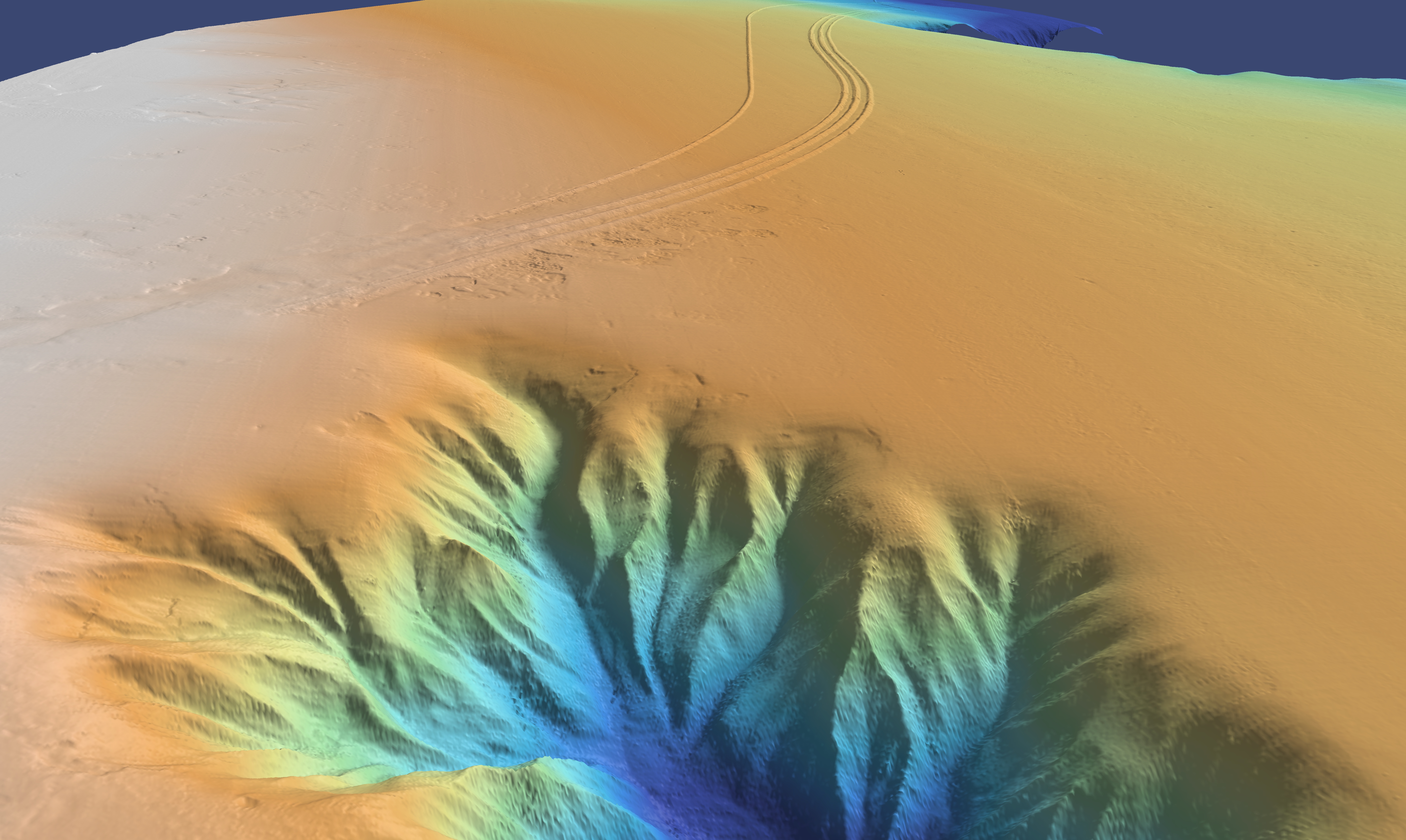
Marine Geophysical Survey
Complete image of the seafloor
From surf zone to full ocean depth high resolution bathymetry, 2D HR&UHR seismic, sub-bottom profiling, side-scan sonar and magnetometry for a complete image of the seafloor.
Learn More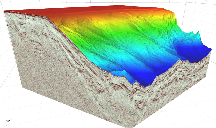
Marine Geotechnical Survey
Soil certainty for engineering foundations
Precision CPT, coring, and sediment characterization to define soil parameters with certainty.
Learn More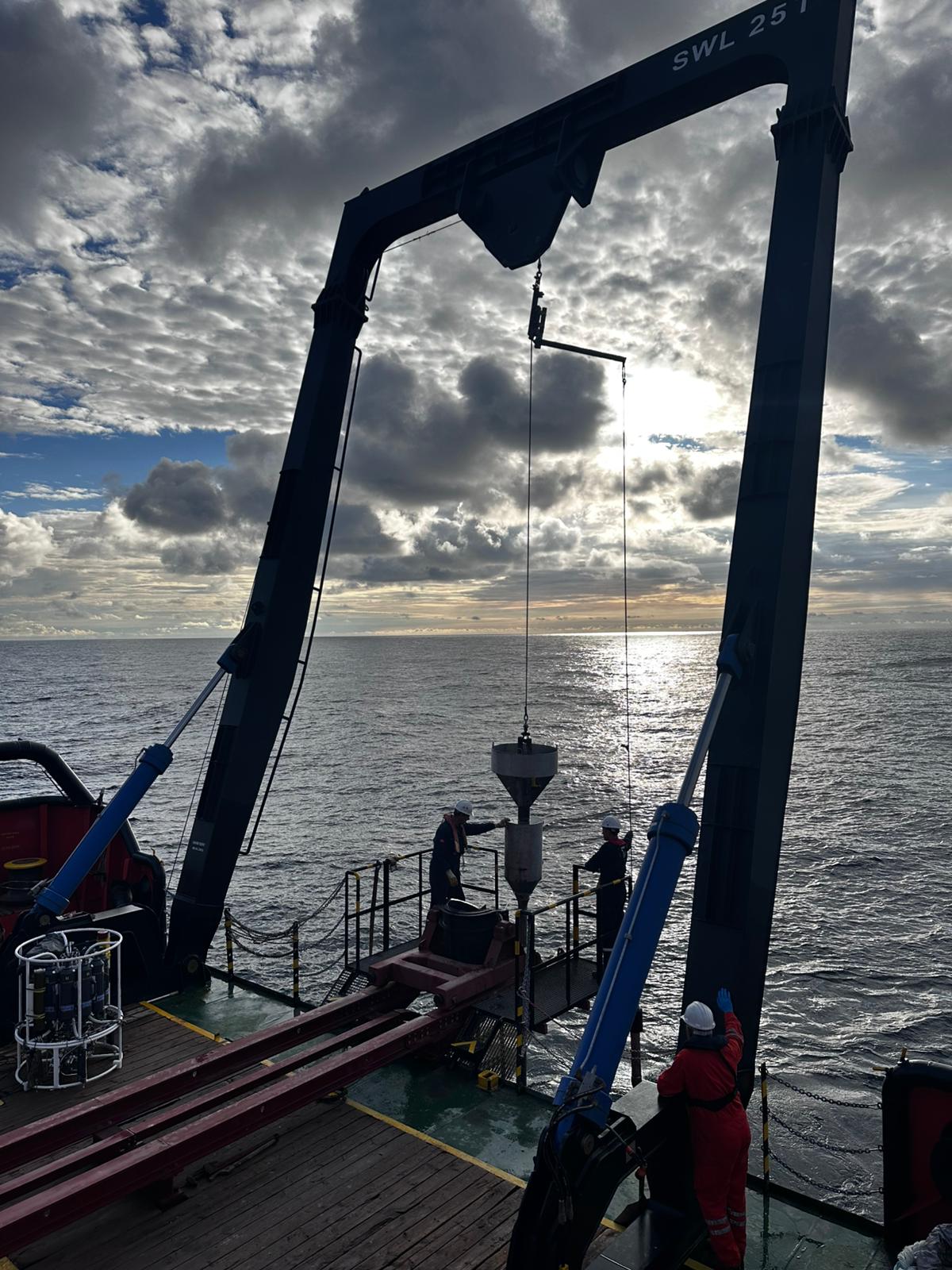
Offshore Construction Support
Precision for infrastructure installation
Precise positioning, touchdown monitoring, and subsea metrology for infrastructure installation.
Learn More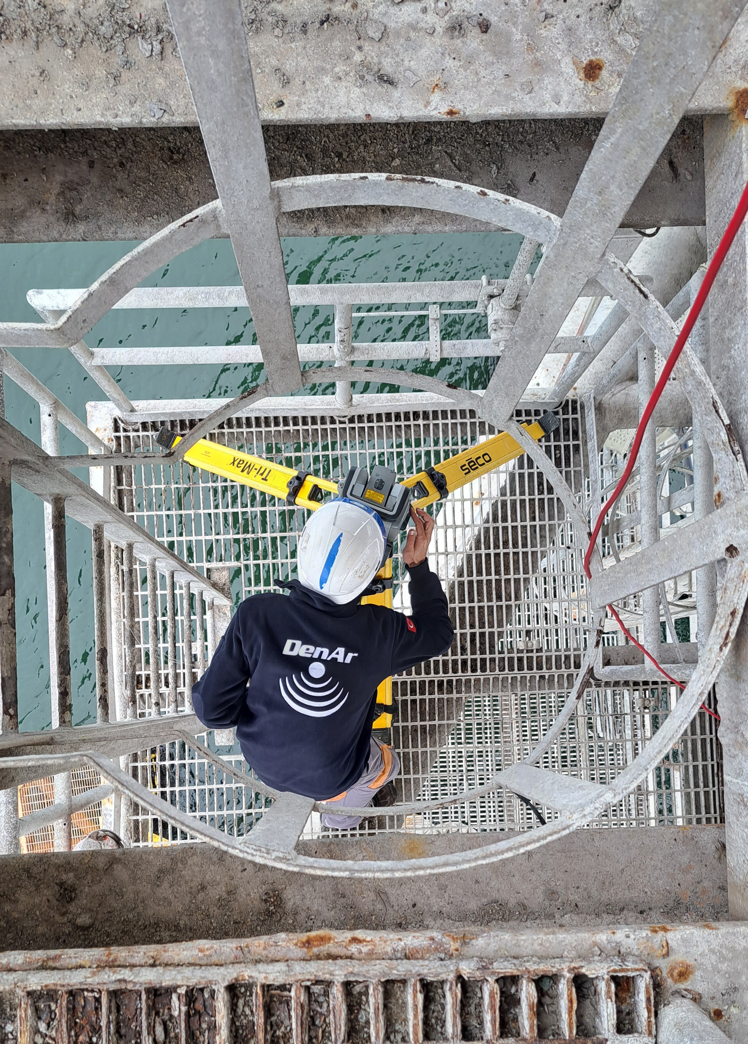
UXO Survey
Safety-critical clearance support
De-risk your project with our comprehensive non-intrusive UXO survey and risk mitigation services.
Learn More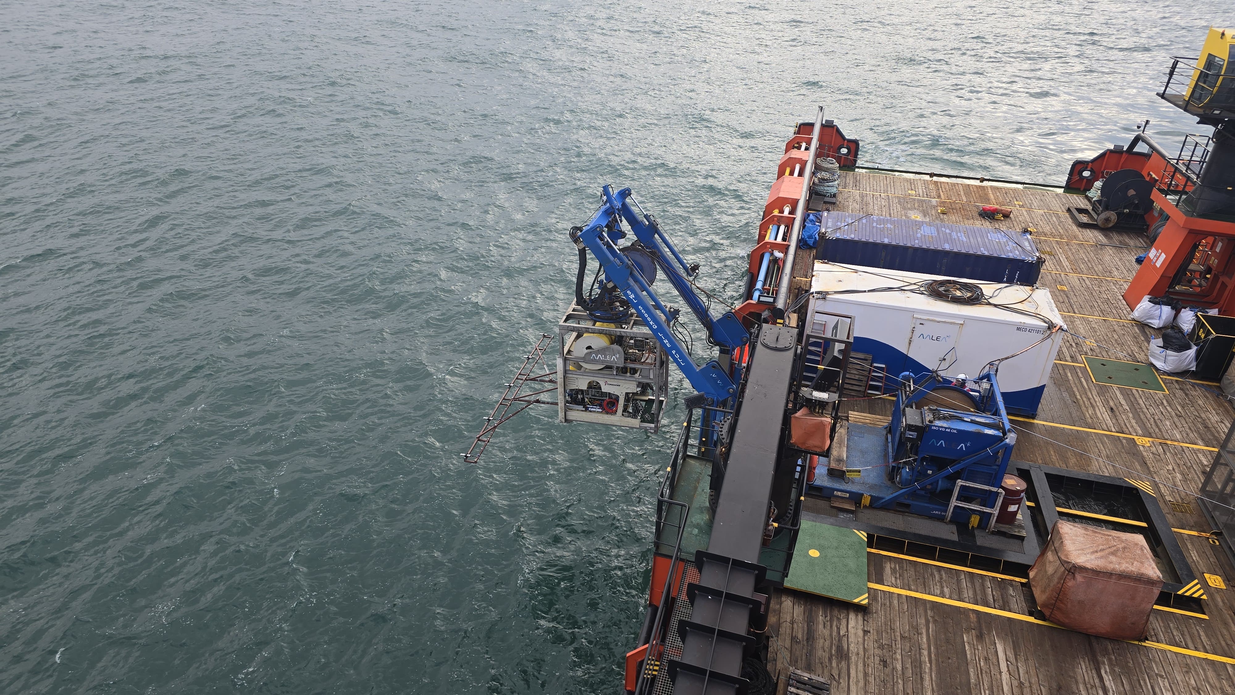
Metocean Monitoring and Modelling
Understand the marine environment
Real-time data and predictive modelling with numerical simulations to understand the impact of marine dynamics on your project.
Learn More
Need a tailored survey solution?
Our team can design integrated survey programs combining multiple disciplines for maximum data value.
Discuss Your Project